Summer’s here.
As we headed into the Spring Bank Holiday, a heatwave was approaching the British Isles. Before things got too crazy and blisteringly hot, we took the opportunity for a cooler — but still beautiful — hike in the Dales.
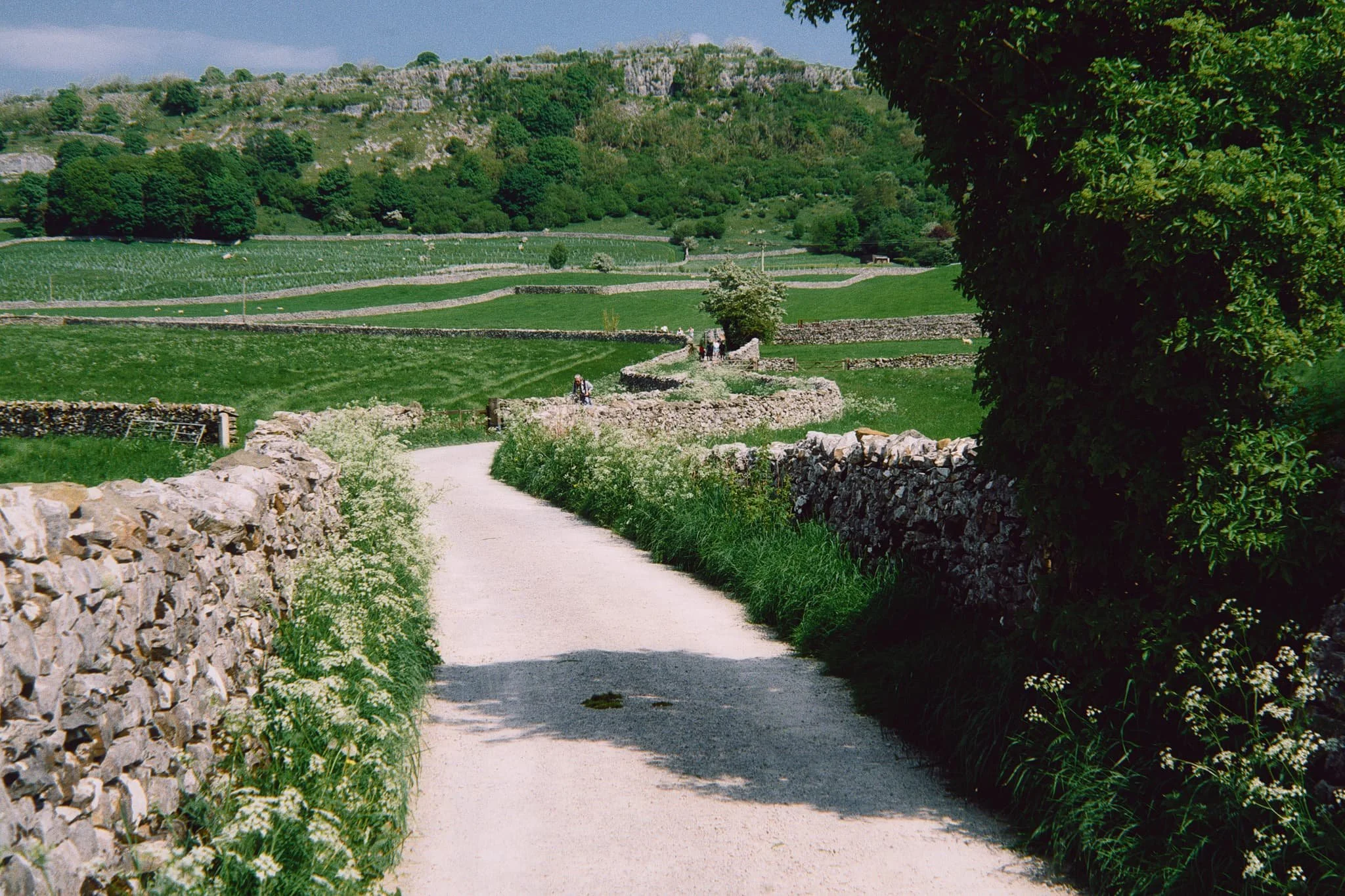
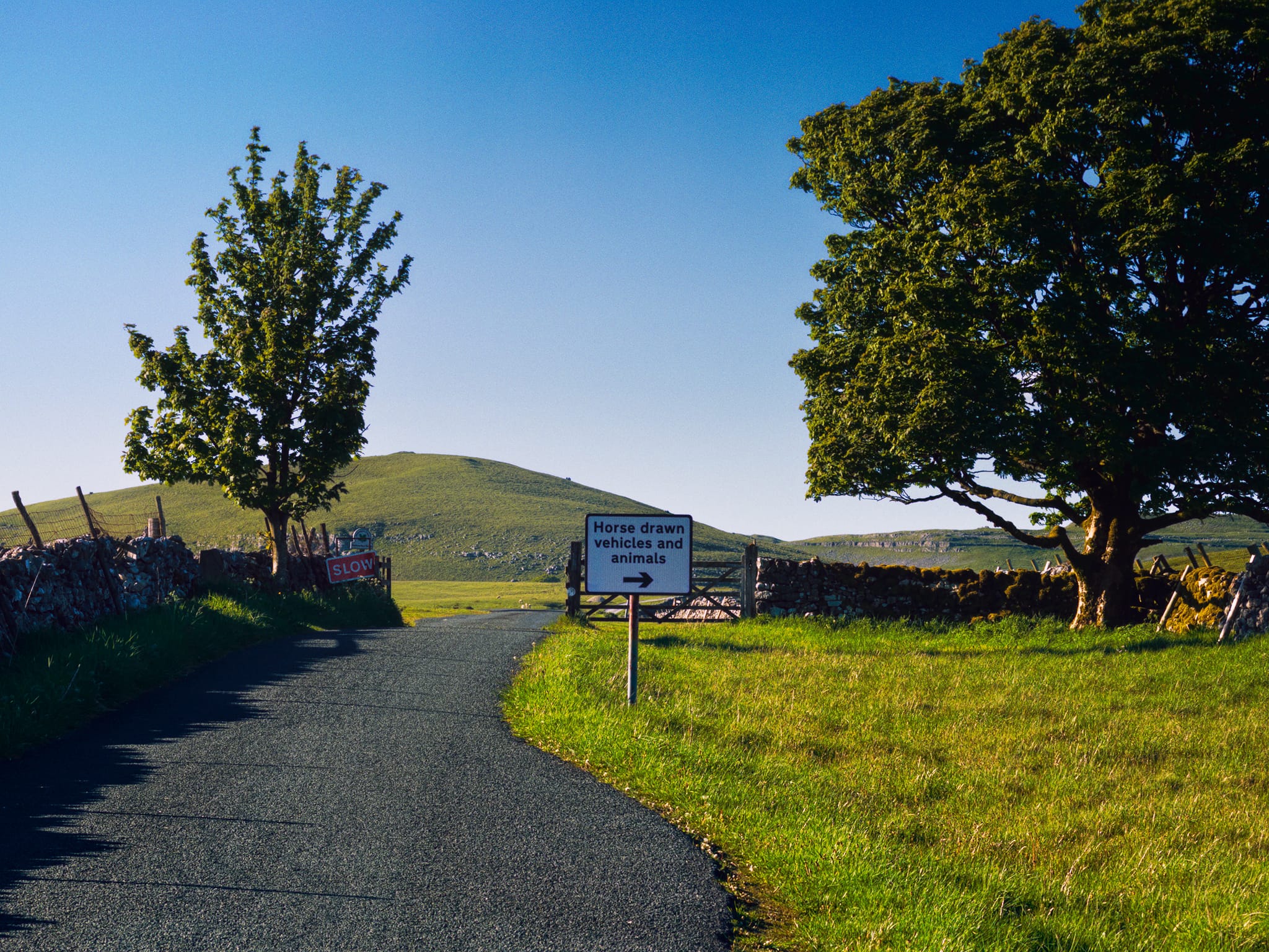
I was feeling the pull of epic limestone scenery, but places like Malham Cove are almost always far too busy these days. Instead, we took the minor roads across Malham Moor to Malham Tarn. From here you can follow the footpath south, and watch as the small beck from Malham Tarn — Malham Water — suddenly disappears into the ground. Continuing along the route, the limestone crags close in on you and you soon realise what that you are walking into is the remains of an extinct and powerful waterfall, which culminates in the drop below Comb Hill.
As we decided to hike later in the day, the light was lower, the air was cooler, and as such as the photography was just delightful.
All photos taken on my iPhone 17 Pro Max. RAWs developed in Lightroom, then edited and finalised in Photoshop.
Watlowes Dry Valley, Yorkshire Dales, Spring © 2026 by Ian Cylkowski is licensed under CC BY-NC-SA 4.0.
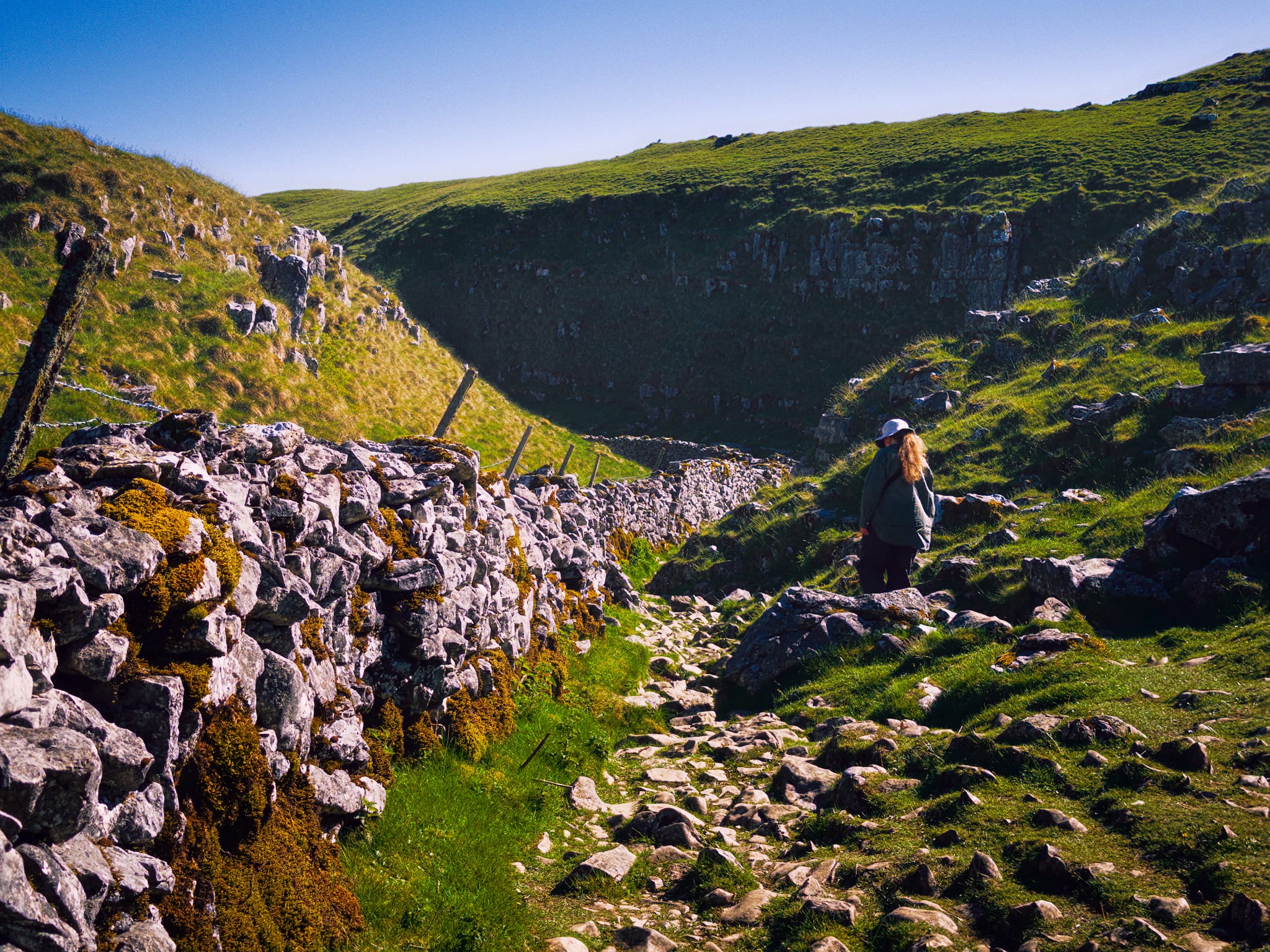
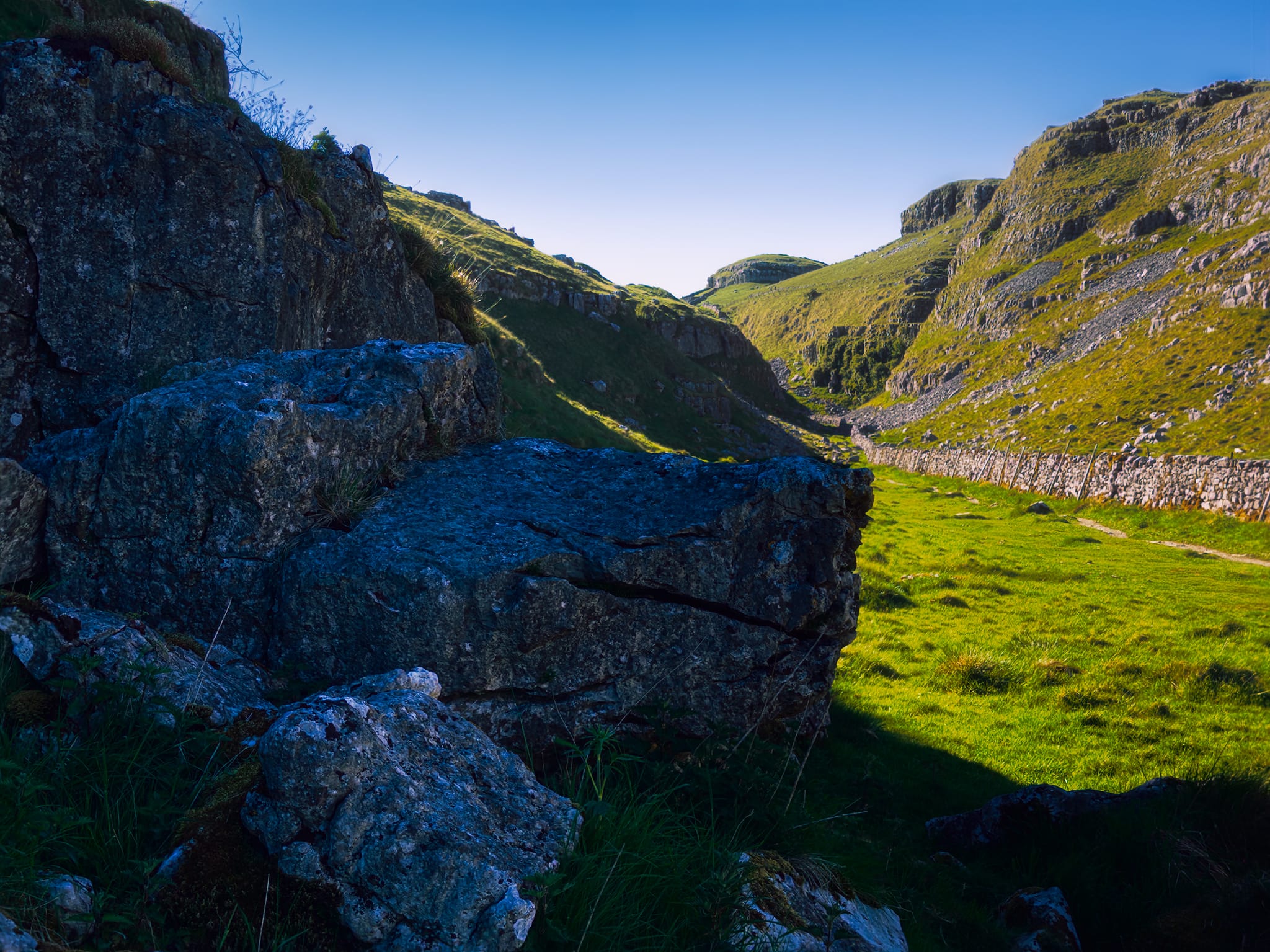
Beyond where the beck disappears underground, an area known as Water Sinks, the crags close in around you as you follow the path.
Evidence of the prehistoric river abound, as limestone crags were sheared and smoothed away, the river carving a narrow gorge.
An ultra-wide perspective shows where the river would’ve crashed as a waterfall and twisted as it carved its way down the valley.

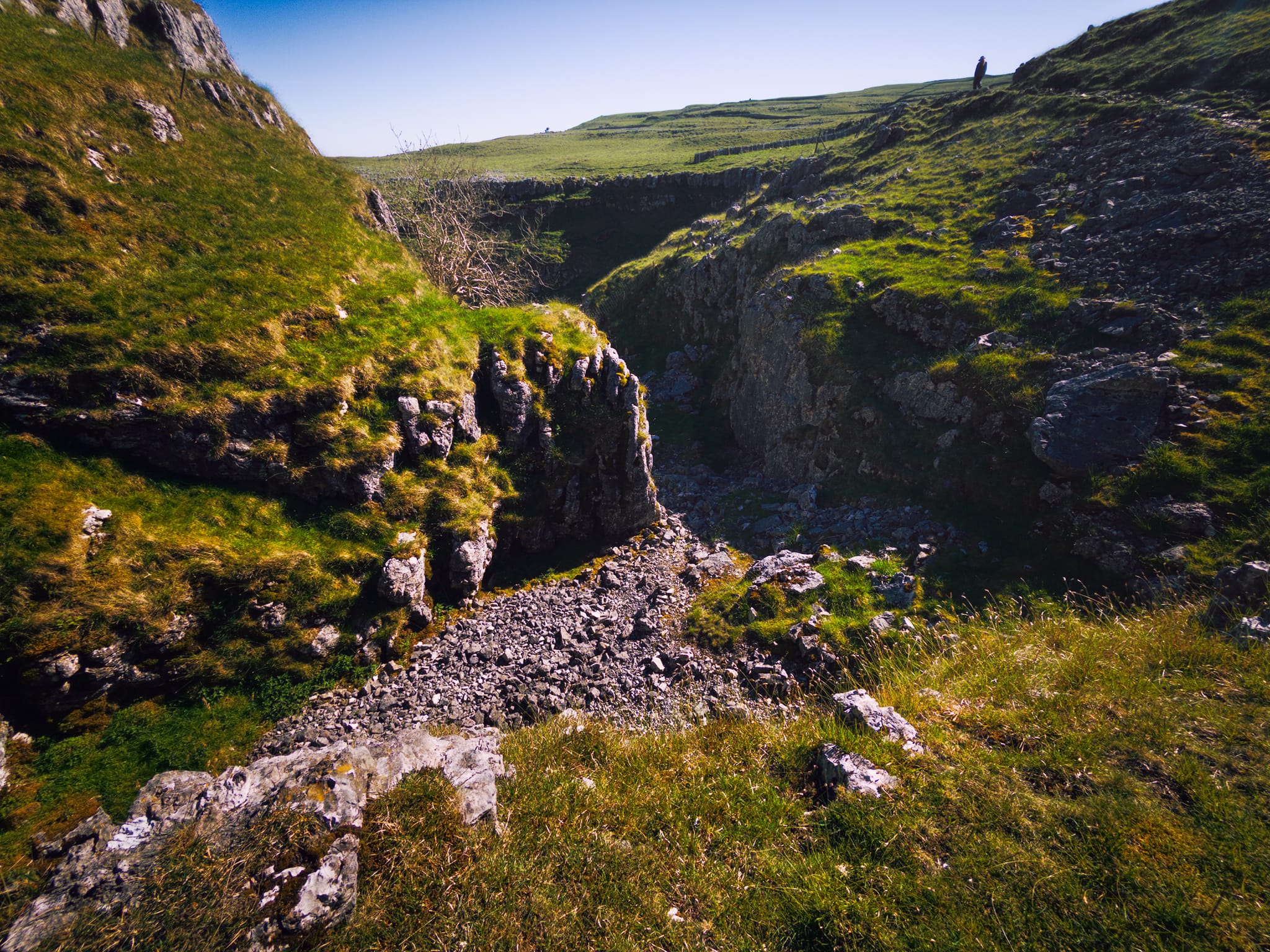
Looking back where we came from. Imagine a powerful high river coursing through here and crashing down, mist bellowing everywhere.
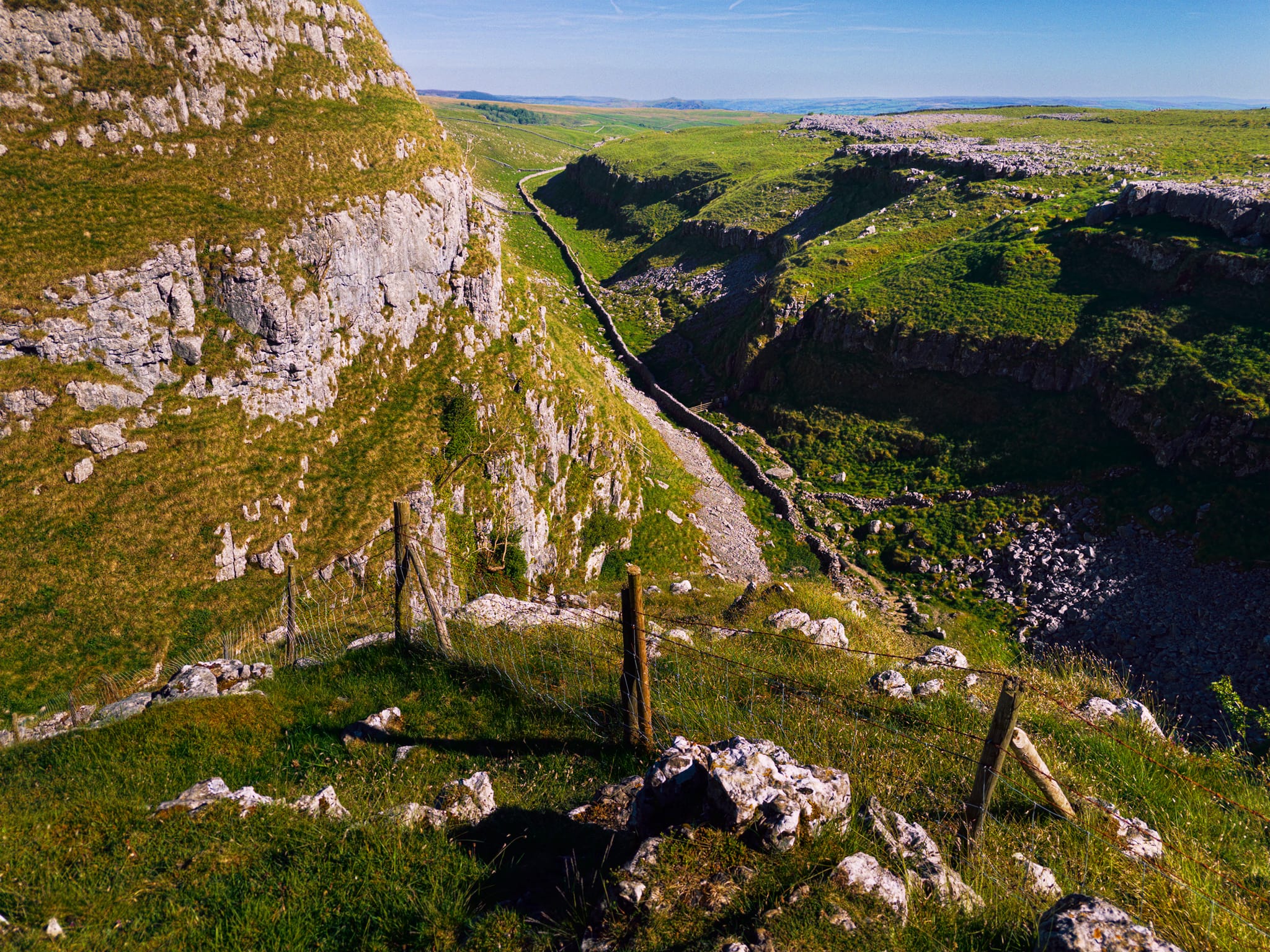
From the high crags, the course the ancient river took is evident, sloshing into the other side of the valley and gouging out a route south towards Malham Cove.
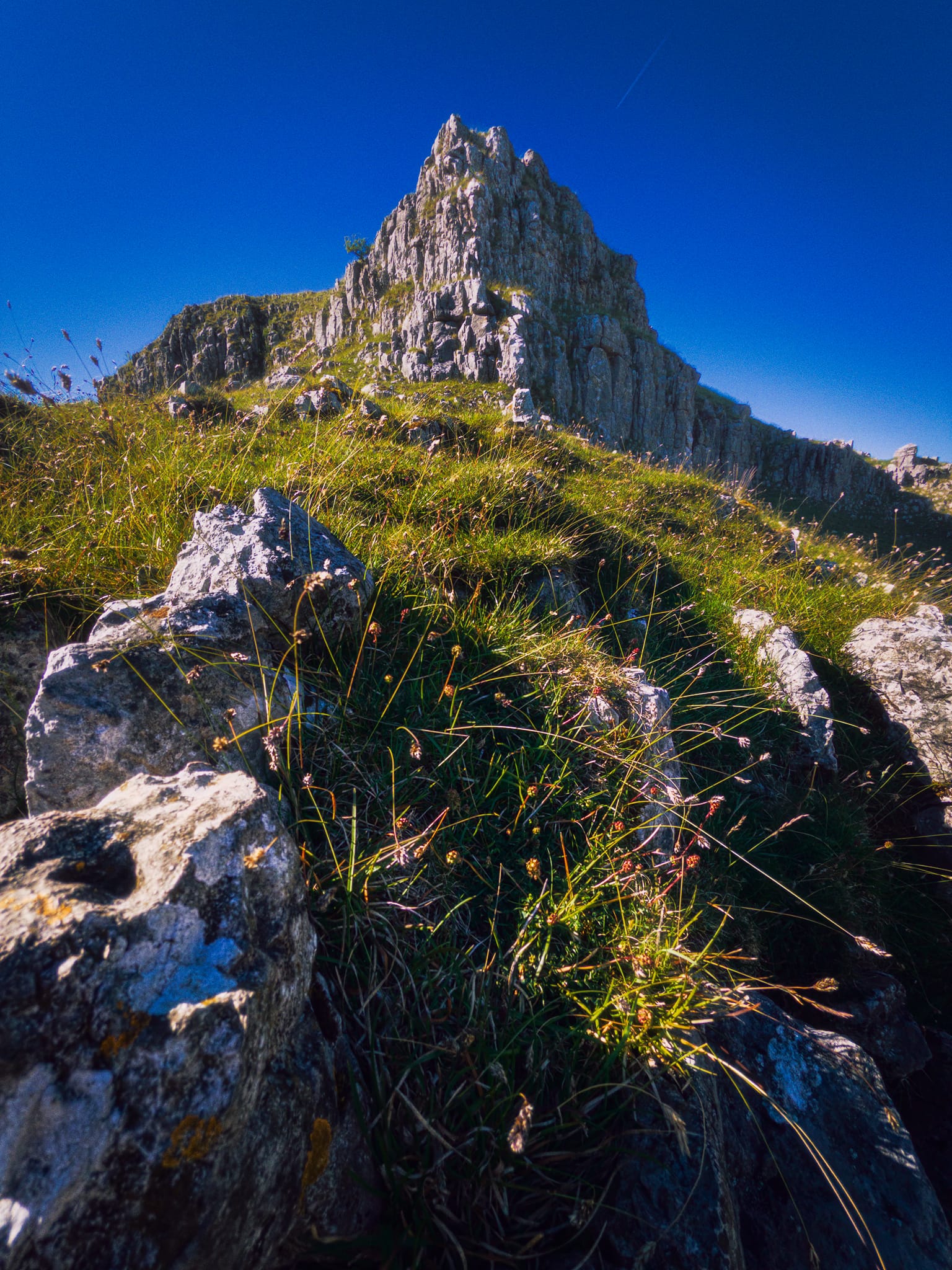
Ing Scar Crag always provides a lovely opportunity to play with compositions.
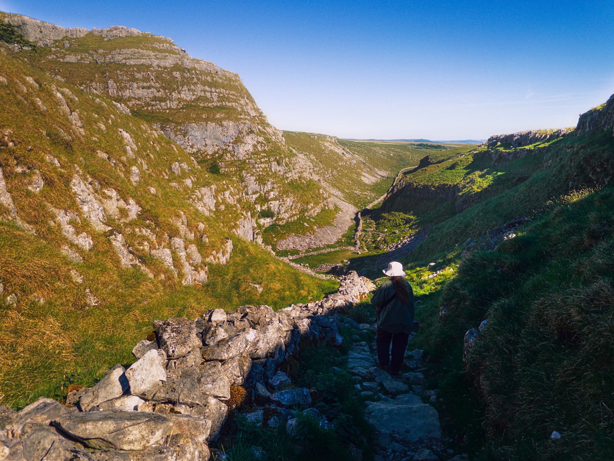
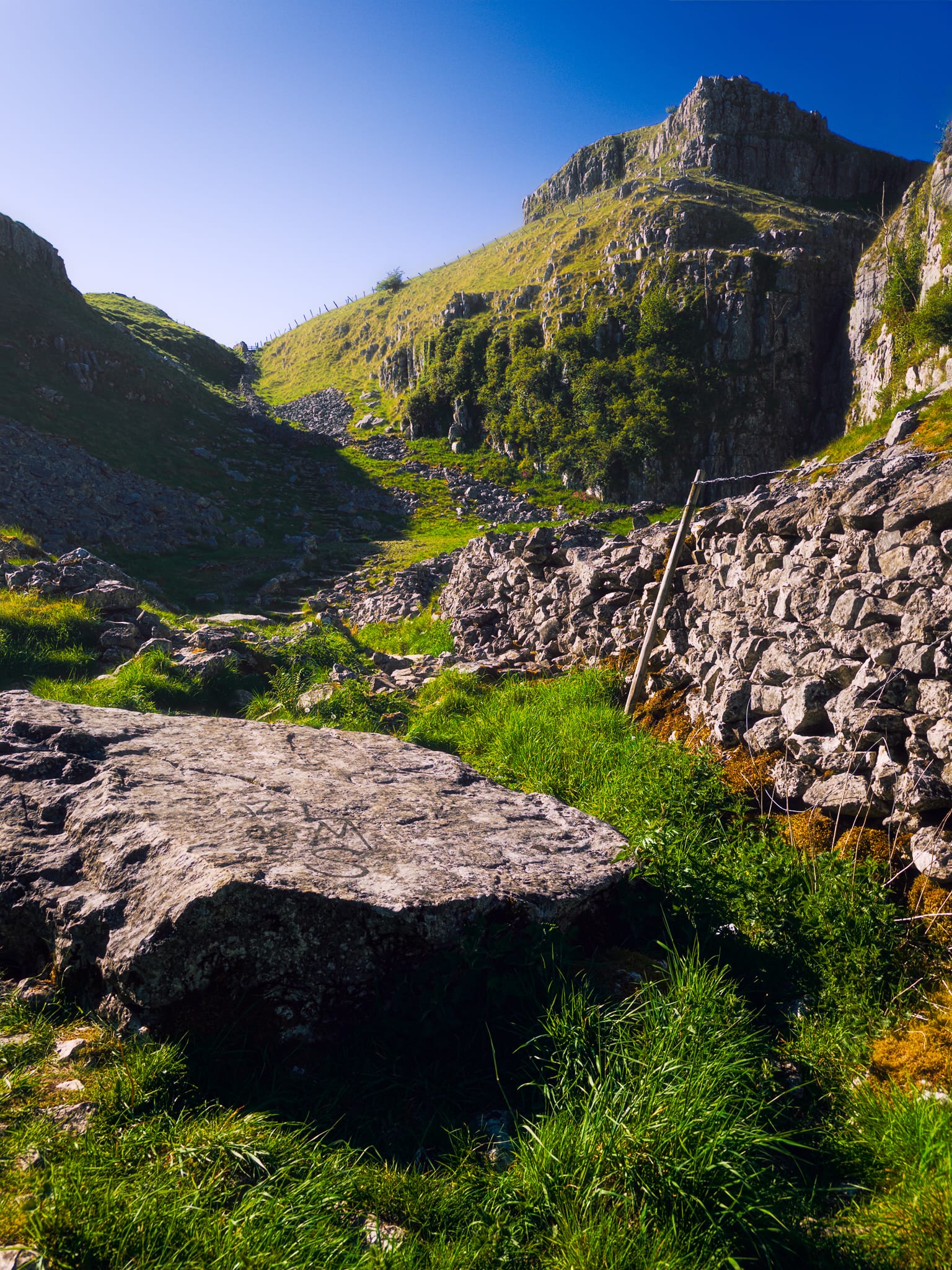
We located the trail down the Dry Valley, gingerly navigating the rather dilapidated state of the footpath’s paving. Here, the full extent of the Watlowes Dry Valley is revealed.
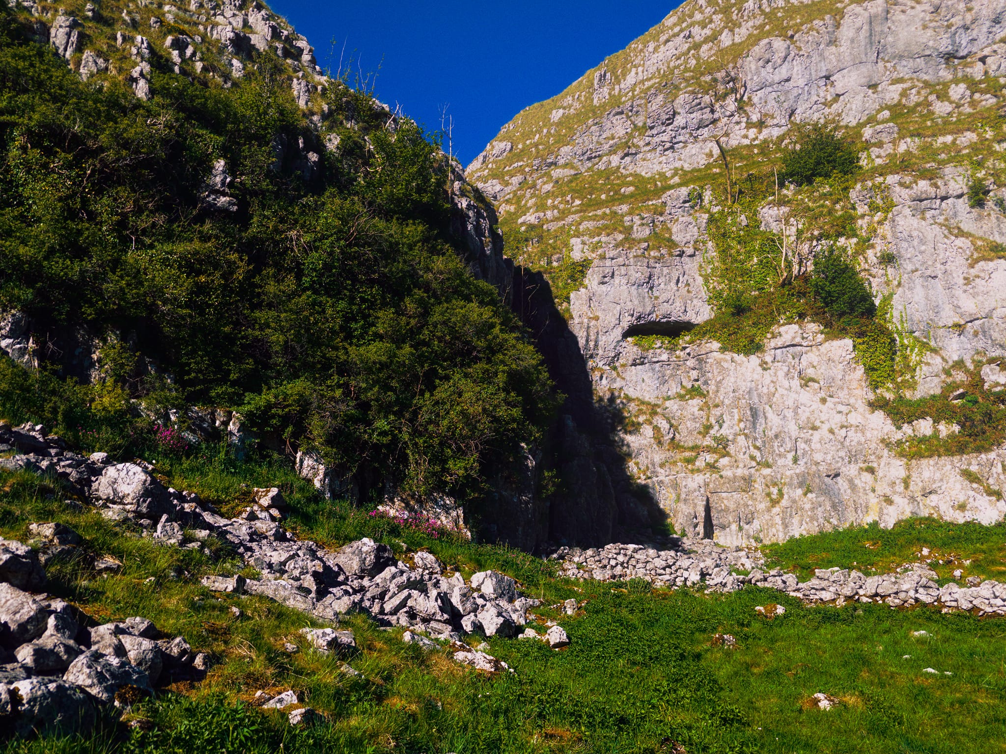
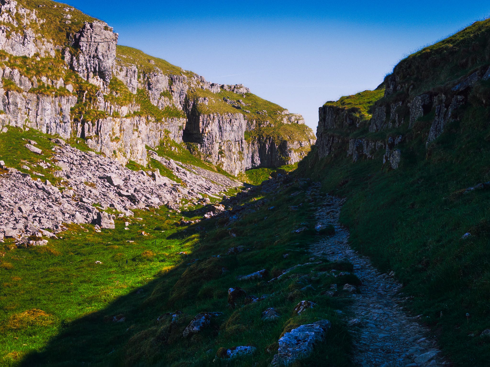
Here’s where the waterfall would’ve been. Nowadays dry as a bone, and provides a nice little option for rock climbers.
As we head down the valley, a look back reveals Ing Scar Crag in a composition I’d never taken before.
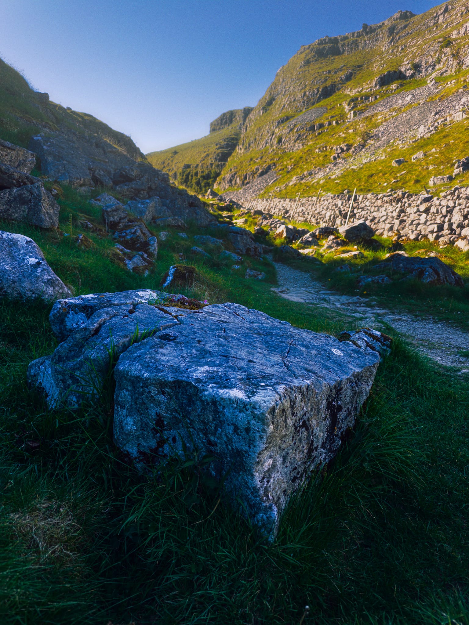
Deeper down the valley, these boulders in the shade provided a nice cool/warm and dark/light composition.
Another cluster of limestone boulders deep in the shade provide another contrasting composition with the valley’s high crags towering above.
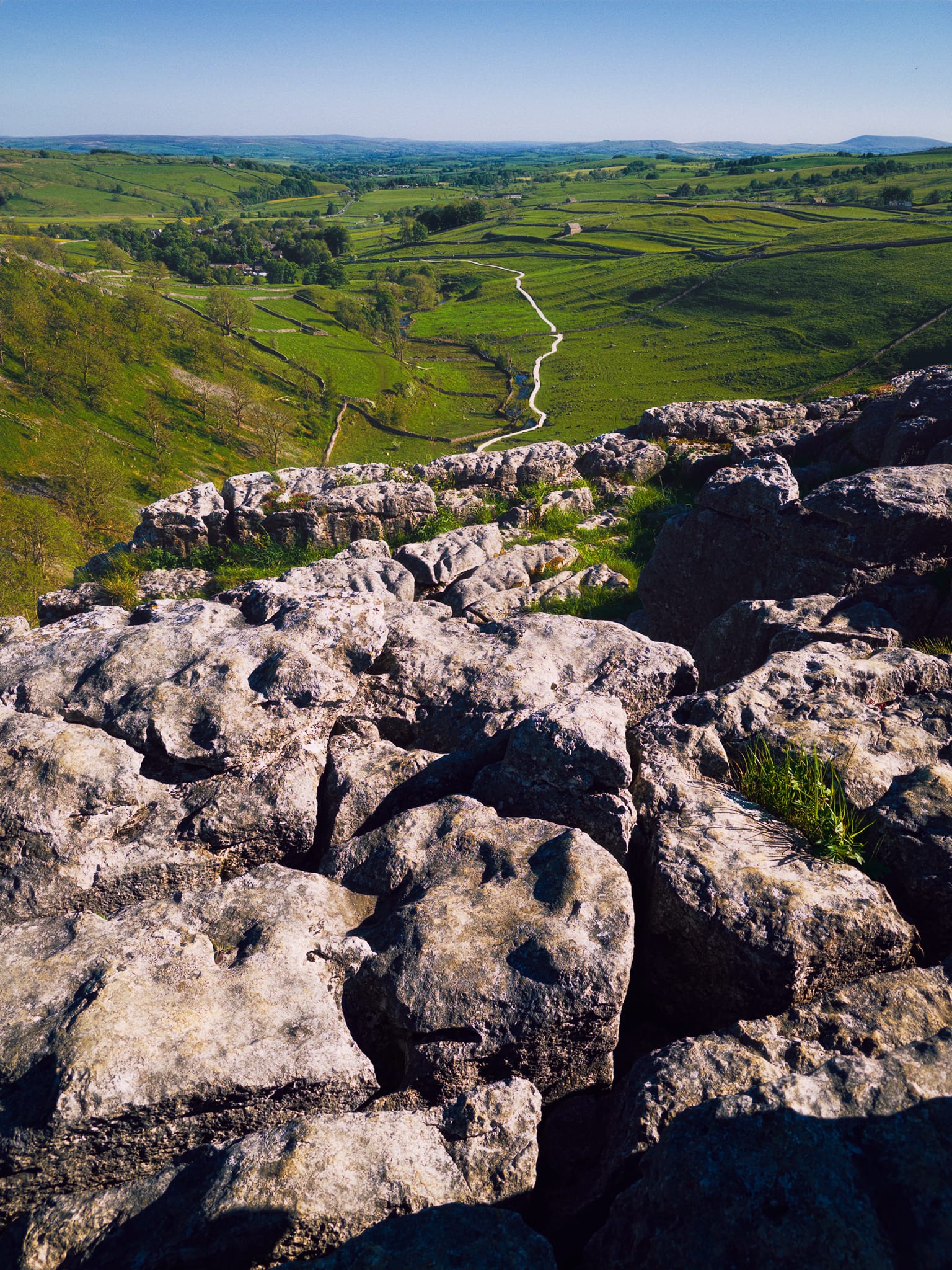
Finally we arrive at the top of Malham Cove and its expansive limestone pavement. Here, the prehistoric water racing from Watlowes would’ve dropped down Malham Cove in what surely would’ve been one of Europe’s biggest waterfalls: 80 m (260 ft) high and more than 300 m (980 ft) wide.
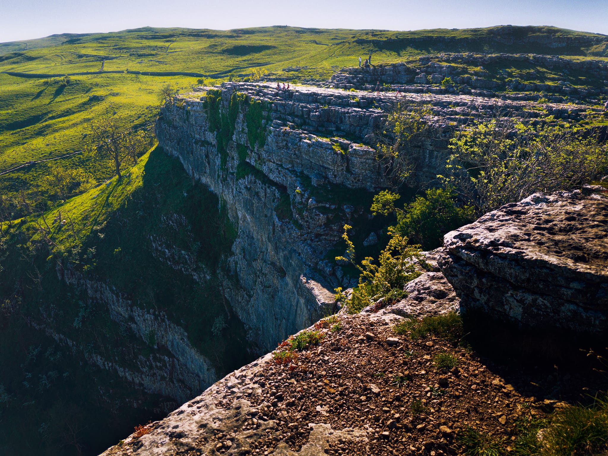
Looking across, and down, Malham Cove from its eastern edge. Imagine the sheer scale of the massive waterfall that would’ve dropped from here.
The route back to Malham Tarn involved hiking up the steep Tarn Road. As we plateaued at the height of Malham Moor, this scene stopped me for a final shot of the day.